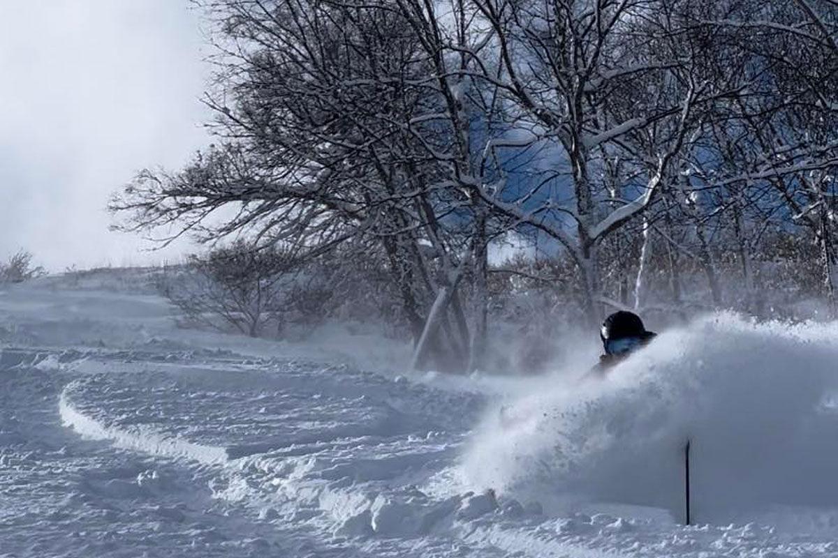

For those heading to Madarao this week you best be sure you have your snorkel and thermals packed as the coldest storm of the year is set pack a punch over Monday and Tuesday 15th and 16th.
After snow continues to fall today at a moderate rate increasing into the evening, we should find ourselves with an additional 40-50cm that'll top up the 17cm that fell last night.
The Siberian tap will briefly pause and allow the sun to poke its head through the clouds for an epic bluebird powder day tomorrow, however it gets better. As the lifts close on Sunday a low deepens rapidly off the west coast of Hokkaido in the Sea of Japan and makes its way east firing up the Japow snow machine. As it parks itself off the east coast of Hokkaido it combines with a strong high pressure system sucking very cold dry air deep from Siberia over the relatively warm water of the Sea of Japan.
This combination is the perfect set up for deep dry Madapow. These frigid winds will slam into the Madarao mountain range early Monday morning resulting in heavy snow. The snow should ease off into the afternoon and continue at a steady accumulation all the way into Tuesday evening with pulses of heavier snow throughout Tuesday. Wednesday should clear to enjoy the day of the season with the driest powder madarao has to offer.
Models are currently showing 40cm however we all know Madarao is in the business of defying the models and we will end up with between 80cm - 1m between Monday and Wednesday... or more!